

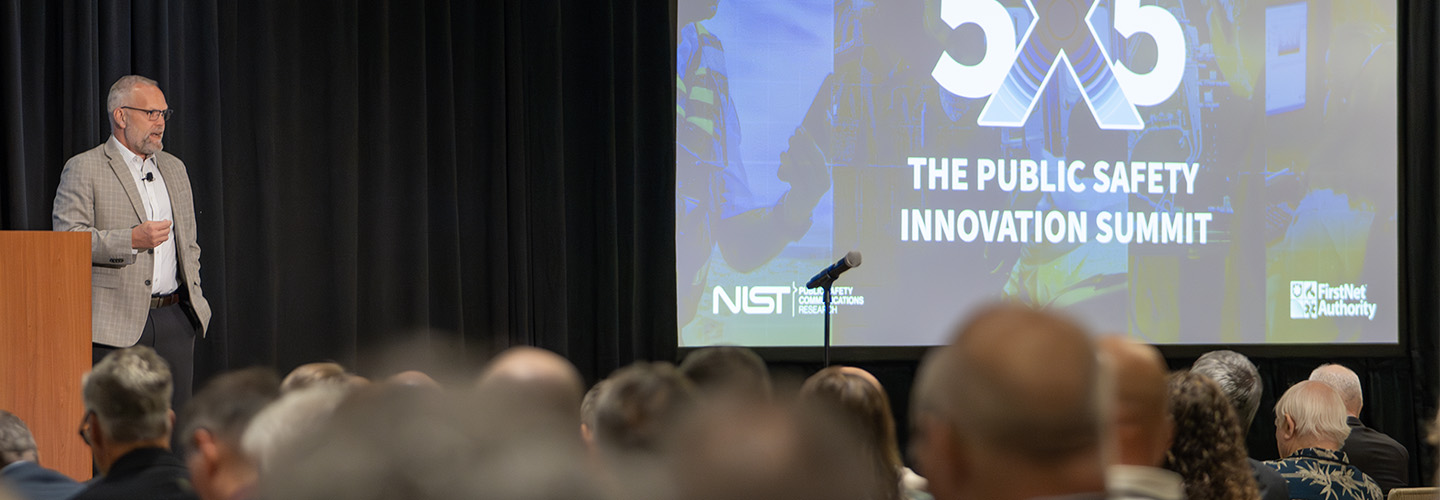
5x5 Keynotes 2025
We are pleased to announce our keynote speakers for 5x5! Our keynotes are leaders in public safety communications. They offer attendees insight into public safety[…]
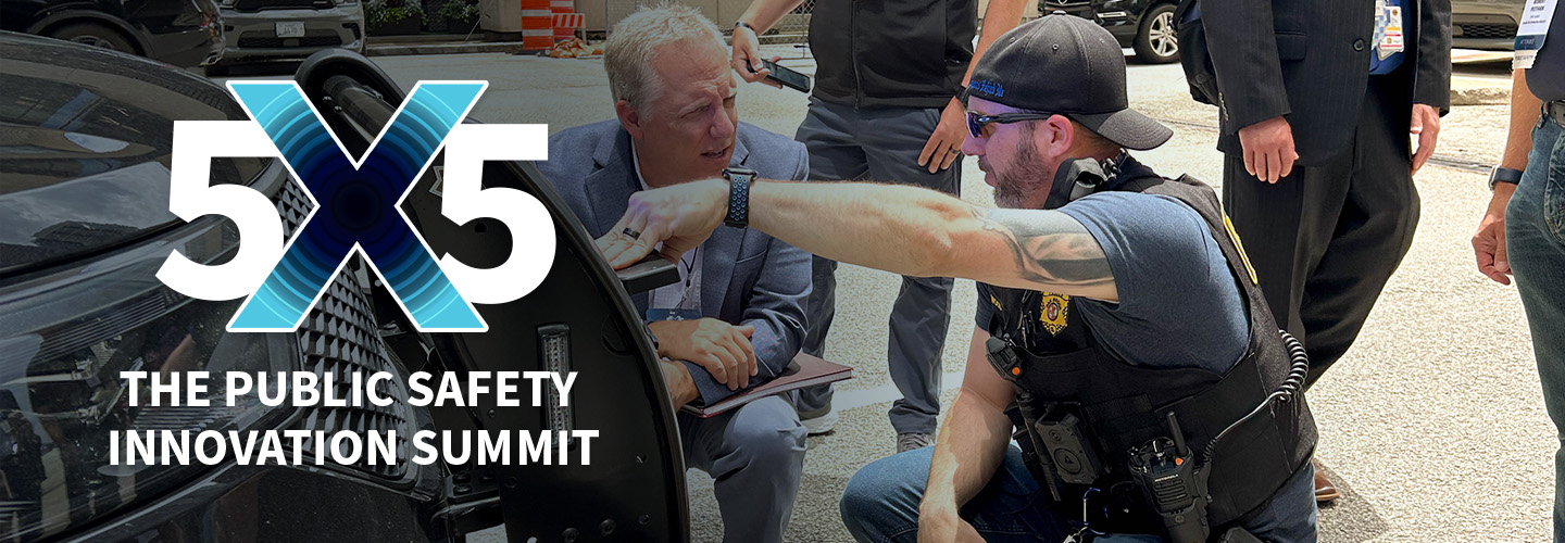
Technology Demonstrations at 5x5
Do you have an innovative, cutting-edge, or emerging technology that has the potential to advance public safety communications? NIST Public Safety Communications Research Division and[…]
Registration is open for 2025!
Registration is now open for 5x5 in Seattle/Bellevue! With keynotes, plenaries, live technology demos, and numerous breakout sessions and deep-dive discussions, the 5x5 summit will[…]

5x5 is coming to the Pacific Northwest in 2025!
5x5: The Public Safety Innovation Summit will be held in Bellevue, Washington for 2025. Join us June 3-5! Registration will open soon. Details Venue: Hyatt[…]
5x5 Summit: Commerce agencies work together to advance public safety communications
This blog is a repost from the U.S. Department of Commerce, originally published on April 24, 2024. This June, two agencies within the U.S. Department[…]

5x5 keynotes reveal!
We are pleased to announce our five keynote speakers for 5x5! Our keynotes are leaders in the field of public safety communications. They will offer[…]
Announcing the 2024 Plenaries
5x5 brings together public safety, researchers, industry and government. Showcasing leaders in the field, our plenaries offer our attendees insights into the technologies helping first[…]
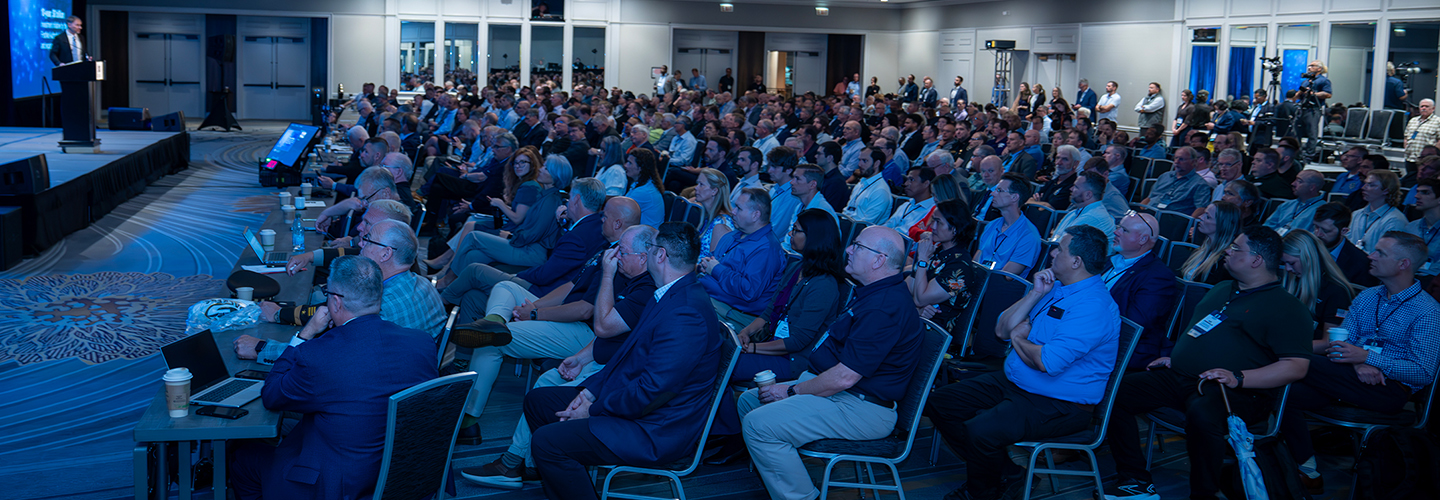
Highlights from the first 5x5: The Public Safety Innovation Summit
We’d like to thank everyone who came to 5x5: The Public Safety Innovation Summit hosted by NIST PSCR and the First Responder Network Authority! The[…]

FirstNet Authority, NIST announce innovation summit for public safety communications leaders
The First Responder Network Authority (FirstNet Authority) and the National Institute of Standards and Technology (NIST) announced that registration is open for 5x5: The Public Safety Innovation Summit, to be[…]
BELLEVUE, WA
June 3-5
FirstNet Authority Social
NIST PSCR Social