
Video file


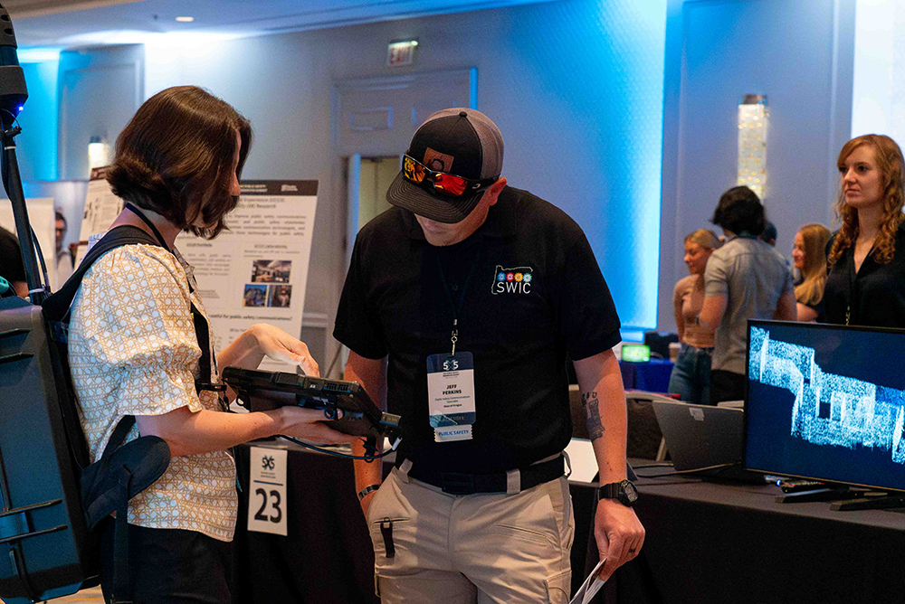


Test the latest innovations in public safety communications, collaborate with fellow leaders, and see how tech is used in the field today.
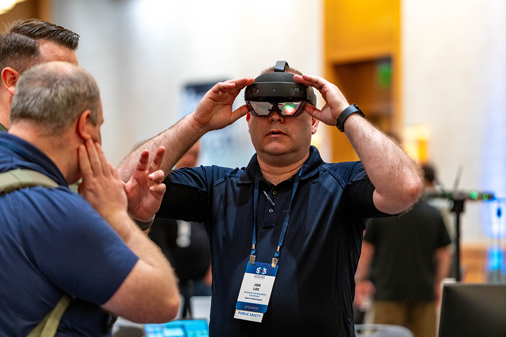
See what's new in cutting-edge demos, attend Q&A sessions with fellow innovators, and contribute to the future of emergency communications.
Connect with responders and researchers, see where public safety communications is headed, and learn strategies to grow your business.
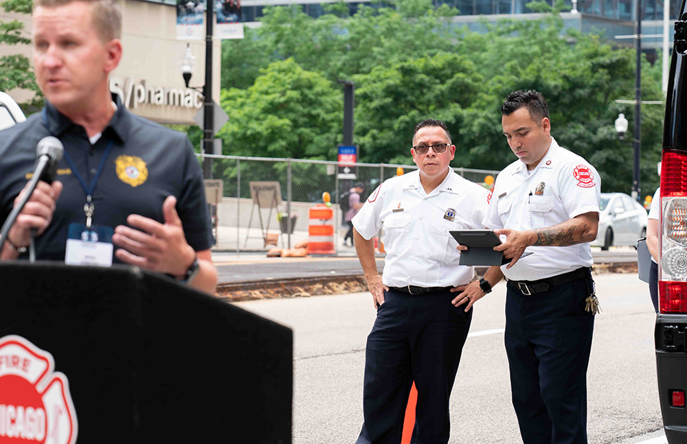
Discover how technology is used by first responders at all levels of government and collaborate with leaders in public safety communications.